
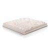


Amsterdam City Scape 1:5000
€310.00
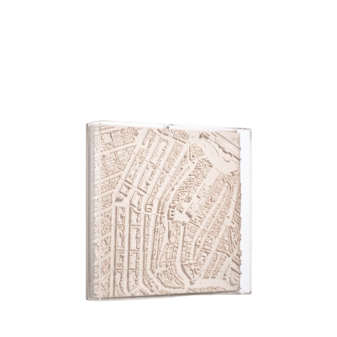
Amsterdam, a city with a rich history, began in the 12th century with a dam over the river Amstel. The city’s canal system was developed in the early 17th century, allowing for large-scale immigration. The canal ring, now over 100 kilometers long, was inscribed on the World Heritage List by Unesco in 2010. A 3D map of Amsterdam, centered on the Royal Palace, features the Singel, Prinsengracht, Herengracht, and Keizersgracht.
In stock
Amsterdam has its origins in the 12th century when locals built a dam over the river Amstel leading to the village being named "Aemstelredamme". In the Middle Ages, Amsterdam was surrounded by a moat, called the Singel, which now forms the innermost ring in the city, and makes the city centre a horseshoe shape. The canal system was heavily developed in the early 17th century, considered the city's Golden Age, to accommodate large scale immigration. Four concentric half-circles of canals with their ends emerging at the IJ bay were constructed. Amsterdam is now home to more than one hundred kilometres of canals. It is thought that the considerations of the layout were purely practical and defensive rather than ornamental. The layout of the inner city canal ring was inscribed on the World Heritage List by Unesco in 2010.
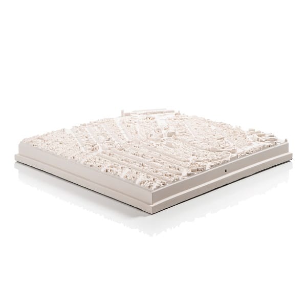
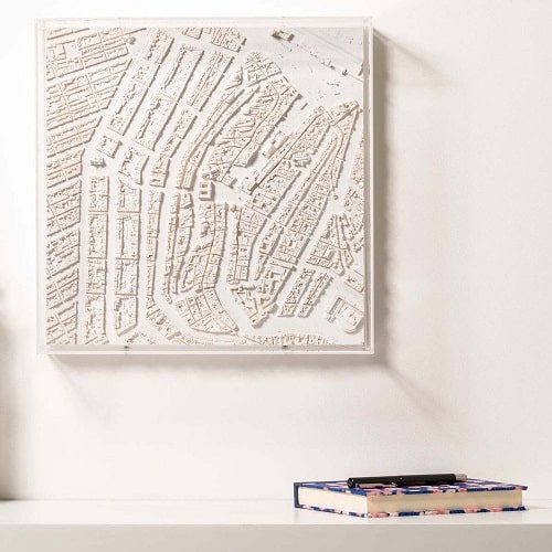
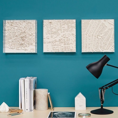
This 3d map of Amsterdam, at a scale of 1:5000, is centred on the Royal Palace and includes the Singel, Prinsengracht, Herengracht and Keizersgracht. It is a single plaster tile measuring 30x30cm encapsulated in a perspex frame. The model can wall hang or be displayed on a desk or table top.
You may also like
See all productsRelated products
-
 Add to basket
Decoupe Storage Picture Frame – A4
€45.00 -
 Add to basket
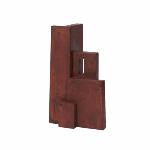
Aperture Sculpture
€219.00 -
 Add to basket
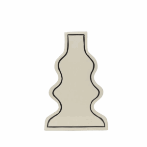
Paste Vase – Curvy
€109.00 -
 Add to basket
Grib Toolbox
€89.00 -
 Add to basket
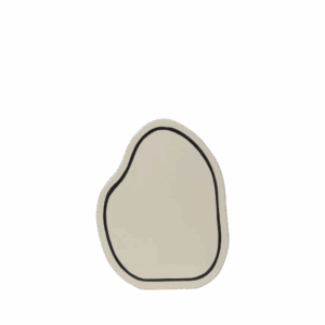
Paste Vase – Rounded
€99.00 -
 Add to basket
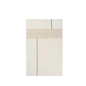
Dela Throw
€149.00 -
 Add to basket
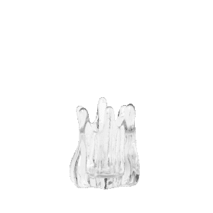
Holo Tealight Candle Holder
€55.00 -
 Select options
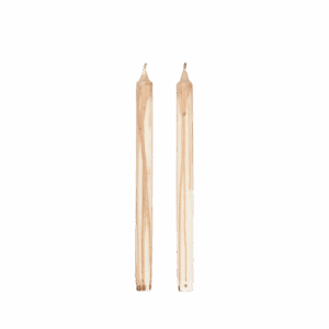
Dryp Candles – Set of 2
€12.00This product has multiple variants. The options may be chosen on the product page